Webcams
 Live info
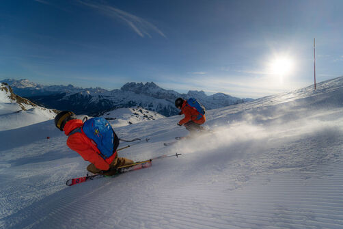
 Ski passes
 Useful information
 Retour
commerce et service
Retour
commerce et service
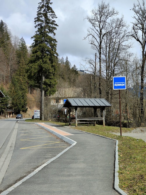
ColomBus - Line C


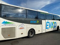
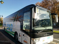
During the holiday periods the Colombus operates throughout the valley between Abondance and Châtel .
Description
It complements the bus service "L.12".
Additional information
Group bookings through EVAD on 04 50 81 74 74.
Services
-
 Pets welcome
Animals
Animaux acceptés : Oui
Pets allowed on leash only.
Prices
1.20€/ride/person, for sale with the busdriver.
€9.60 card for 10 rides for sale at the tourist offices.
Payment methods
-
 Bank/credit card
-
 Cash
Cash
-
 Contactless payment
Special offers
In Summer : free of charge with a valid Multi Pass
Période d'ouverture
From 20/12/2025 to 19/04/2026 daily. Dates to be confirmed.
Languages spoken
-
 English
-
 French
Location
To know
-
Tips : In Summer : free of charge with a valid Multi Pass
-
Promotional offers : MULTI PASS ACTIVITY | Free with a valid Multi Pass


Communauté de communes pays d'Évian - vallée d'Abondance
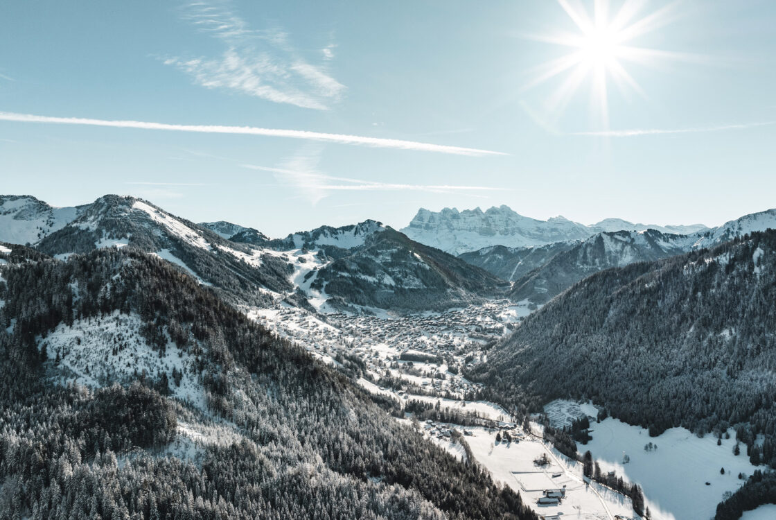
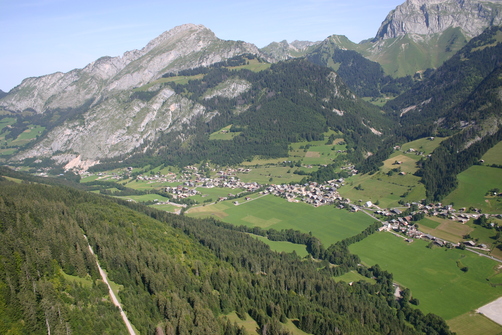
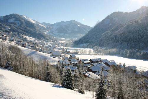
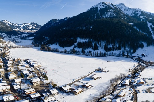
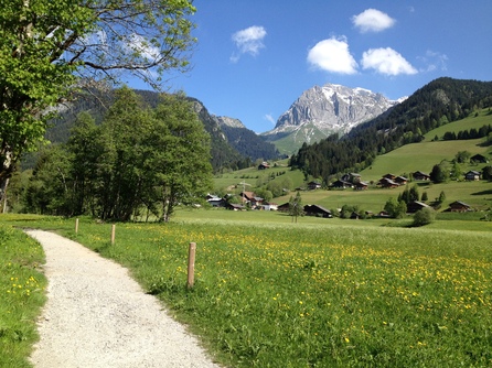
Vallée d'Abondance
De Abondance à Châtel
74360 Abondance
Tel :
Reservation
Book
You may also like


Parcours étape
-
Bus stop: Centre sportif
-
Bus stop: Crêt-Béni
-
Bus stop: Eglise
-
Bus stop: Fruitière
-
Bus stop: La Panthiaz
-
Bus stop: La Pesse
-
Bus stop: La Sauge
-
Bus stop: La Ville du Nant
-
Bus stop: Les Plagnes
-
Bus stop: Office de Tourisme
-
Bus stop: Télécabine
-
Bus stop : Abbaye
-
Bus stop : Terres Noires
-
Bus stop : Sous le Pas
-
Bus stop : la Solitude
-
Bus stop : Centfontaines
-
Bus stop : Chef lieu
-
Bus stop : fey courbe
-
Bus stop: Chef Lieu
-
Bus stop : ARCE
-
Bus stop : Taverole
-
Bus stop : les Combes
-
Bus stop : Chef lieu
-
Bus stop : le Sommet
-
Bus stop : Melon
-
Bus stop : Maison du Fromage
-
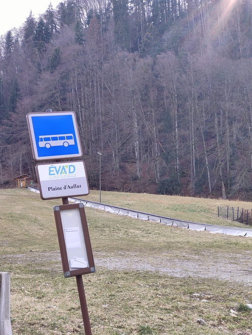
Bus stop : Plaine d'Offaz
-
Bus stop : Abondance l'Essert
-
Bus top : Abbaye
-
Bus stop : les Canevières
-
Bus stop : Chez les Gays
-
Bus stop : Chez les Meuniers
-
Bus stop : Champs Pantins
-
Bus stop : Miolène
Permet d’accéder à
-

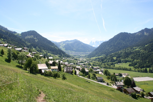
Walking itinerary on the banks of the Dranse: From La Chapelle d'Abondance to Abondance
- Distance 15.6km
- Daily duration 03h25
- Elevation gain 100m
- Negative elevation 100m
-
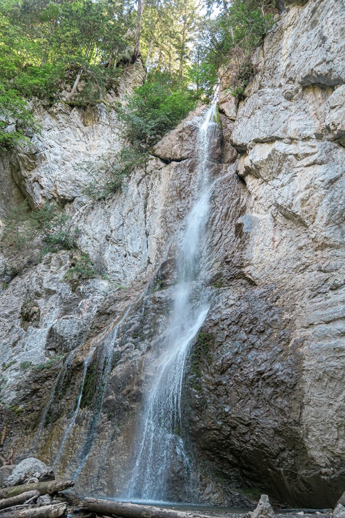
Sur Bayard par la Cascade
- Distance 1km
- Daily duration 01h15
- Elevation gain 202m
- Negative elevation 202m
-
Mont Ouzon hiking trail
- Distance 9.9km
- Daily duration 04h50
- Elevation gain 860m
- Negative elevation 860m
-
Walking itinerary: Chalets de Pertuis from Les Ogay
- Distance 9km
- Daily duration 04h00
- Elevation gain 840m
- Negative elevation 840m
-
The pointe d'Autigny from the center of Abondance
- Distance 9km
- Daily duration 05h45
- Elevation gain 940m
- Negative elevation 940m
-
Chalet de la Raille looping via La Plagne
- Distance 7km
- Daily duration 03h10
- Elevation gain 586m
- Negative elevation 586m
-

Pointe des Mattes walking tour
- Distance 12.3km
- Daily duration 05h45
- Elevation gain 960m
- Negative elevation 960m
-

2-day walking tour of Pointe des Mattes - Stage 1
- Distance 6.79km
- Daily duration 03h35
- Elevation gain 956m
- Negative elevation 97m
-

Pointe des Mattes 2-day walking tour - Stage 2
- Distance 5.43km
- Daily duration 01h50
- Elevation gain 859m
-
Tour pédestre de la Pointe des Mattes en 2 jours avec nuit en refuge
- Distance 12.22km
- Roaming duration 2 jours
- Elevation gain 960m
- Negative elevation 960m
-
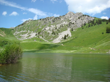
Lake Arvouin loop
- Distance 10.5km
- Daily duration 05h20
- Elevation gain 930m
- Negative elevation 930m
-
The Abray trail
- Distance 6km
- Daily duration 02h00
- Elevation gain 329m
- Negative elevation 329m
-
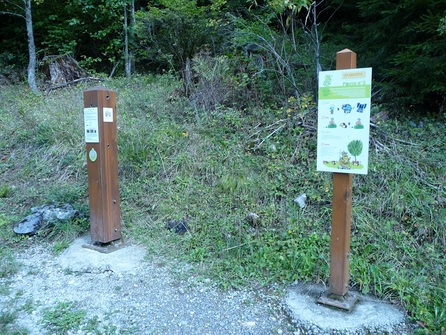
Thematic route: Sapicéa
-
Thematic routes: Fenêtre sur Plaine
-
Walking route - Dranse riverside
-
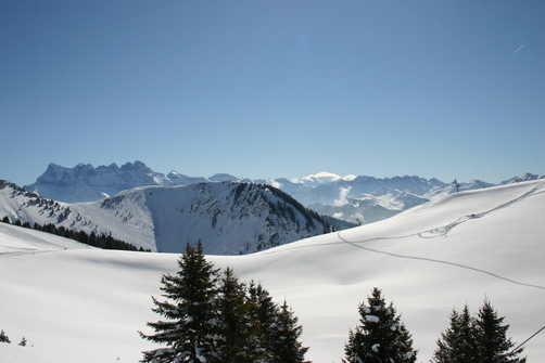
Snowshoeing itinerary: Col du Saix
- Distance 4.1km
- Daily duration 03h00
- Elevation gain 300m
- Negative elevation 300m
-
Snowshoeing itinerary : Itinéraire du Blanchet
- Distance 3.8km
- Daily duration 02h00
- Elevation gain 170m
- Negative elevation 170m
-
Snowshoe itinerary : La Chapelle balcony
- Distance 5km
- Daily duration 02h00
- Elevation gain 80m
- Negative elevation 80m
-

Snowshoeing itinerary : Plan des Feux La Chapelle village
- Distance 2km
- Daily duration 01h15
- Elevation gain 350m
- Negative elevation 350m
-
Snowshoeing itinerary: Plan des Feux Les Ravières
- Distance 2.3km
- Daily duration 02h00
- Elevation gain 270m
- Negative elevation 270m
-
Snowshoes itinerary : Sur Bayard par la cascade
- Distance 2.3km
- Daily duration 01h45
- Elevation gain 200m
- Negative elevation 200m
-
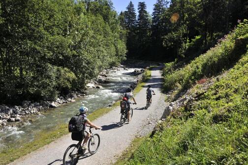
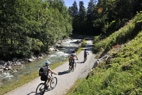
Path along the banks of the Dranse from Abondance to Châtel
- Distance 20km
- Daily duration 05h30
- Elevation gain 100m
- Negative elevation 100m
-
Snowshoeing itinerary : boucle de Fremoux
- Distance 2.5km
- Daily duration 02h00
- Elevation gain 160m
- Negative elevation 160m
Est situé dans