Webcams
 Live info
 Ski passes
 Useful information
 Retour
commerce et service
Retour
commerce et service
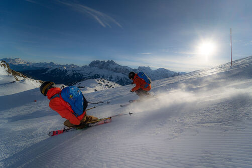
ColomBus - Line C
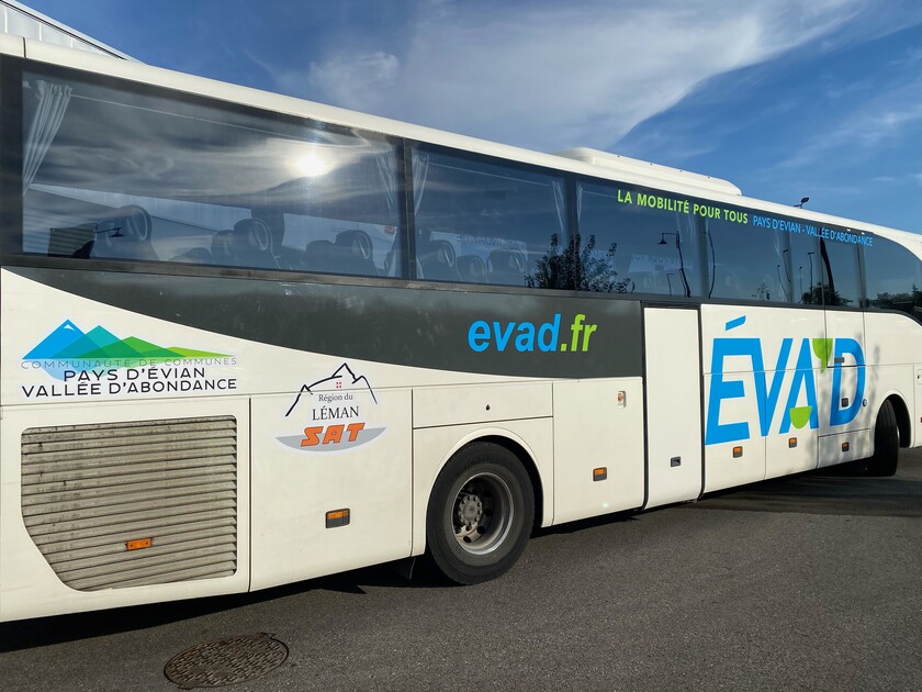


During the holiday periods the Colombus operates throughout the valley between Abondance and Châtel .
Description
It complements the bus service "L.12". It also serves the villages of Bonnevaux, Vacheresse and Chevenoz, every day during the school holidays and outside the holiday periods on Wednesday, Saturday and Sunday.
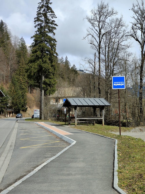
The bus station is located at the Linga from 21st of December 2024 until 30th of March 2025.
The terminus and departure points of the Colombus are now in the Linga car park - near the marquee.
There will be regular connections to the village centre via the Châtel Bus network - a few minutes before departures and after arrivals.
A covered and heated waiting area for customers of the Colombus, with a rest room, toilets and drinks machines, has been installed.
Additional information
Group bookings through EVAD on 04 50 81 74 74.
Services
-
 Pets welcome
Animals
Animaux acceptés : Oui
Pets allowed on leash only.
Prices
1.20€/ride/person, for sale with the busdriver.
€9.60 card for 10 rides for sale at the tourist offices.
Payment methods
-
 Bank/credit card
-
 Cash
Cash
-
 Contactless payment
Special offers
In Summer : free of charge with a valid Multi Pass
Période d'ouverture
From 20/12/2025 to 19/04/2026 daily. Dates to be confirmed.
Languages spoken
-
 English
-
 French
Location


-
Bus stop: Centre sportif
-
Bus stop: Crêt-Béni
-
Bus stop: Eglise
-
Bus stop: Fruitière
-
Bus stop: La Panthiaz
-
Bus stop: La Pesse
-
Bus stop: La Sauge
-
Bus stop: La Ville du Nant
-
Bus stop: Les Plagnes
-
Bus stop: Office de Tourisme
-
Bus stop: Télécabine
-
Bus stop : Abbaye
-
Bus stop : Terres Noires
-
Bus stop : Sous le Pas
-
Bus stop : la Solitude
-
Bus stop : Centfontaines
-
Bus stop : Chef lieu
-
Bus stop : fey courbe
-
Bus stop: Chef Lieu
-
Bus stop : ARCE
-
Bus stop : Taverole
-
Bus stop : les Combes
-
Bus stop : Chef lieu
-
Bus stop : le Sommet
-
Bus stop : Melon
-
Bus stop : Maison du Fromage
-
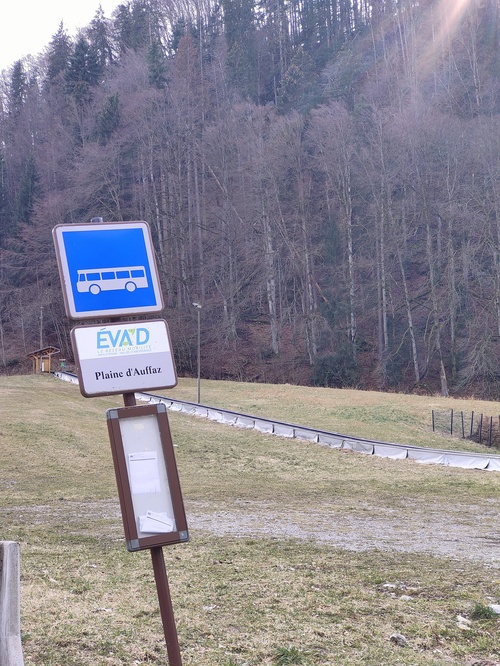
Bus stop : Plaine d'Offaz
-
Bus stop : Abondance l'Essert
-
Bus top : Abbaye
-
Bus stop : les Canevières
-
Bus stop : Chez les Gays
-
Bus stop : Chez les Meuniers
-
Bus stop : Champs Pantins
-
Bus stop : Miolène
-

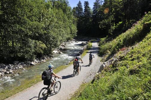
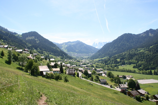
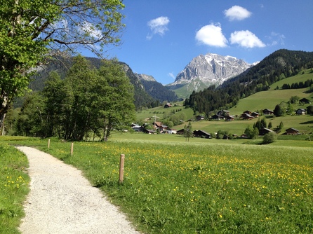
Walking itinerary on the banks of the Dranse: From La Chapelle d'Abondance to Abondance
- Distance 15.6km
- Daily duration 03h25
- Elevation gain 100m
- Negative elevation 100m
-
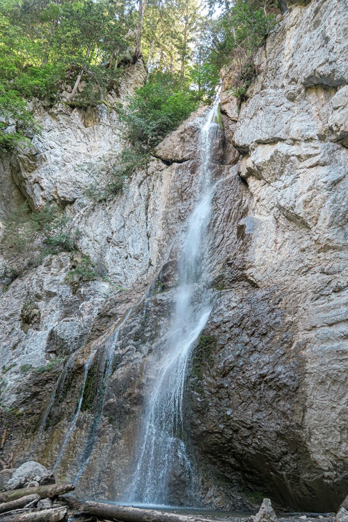
Sur Bayard par la Cascade
- Distance 1km
- Daily duration 01h15
- Elevation gain 202m
- Negative elevation 202m
-
Mont Ouzon hiking trail
- Distance 9.9km
- Daily duration 04h50
- Elevation gain 860m
- Negative elevation 860m
-
Walking itinerary: Chalets de Pertuis from Les Ogay
- Distance 9km
- Daily duration 04h00
- Elevation gain 840m
- Negative elevation 840m
-
The pointe d'Autigny from the center of Abondance
- Distance 9km
- Daily duration 05h45
- Elevation gain 940m
- Negative elevation 940m
-
Chalet de la Raille looping via La Plagne
- Distance 7km
- Daily duration 03h10
- Elevation gain 586m
- Negative elevation 586m
-

Pointe des Mattes walking tour
- Distance 12.3km
- Daily duration 05h45
- Elevation gain 960m
- Negative elevation 960m
-

2-day walking tour of Pointe des Mattes - Stage 1
- Distance 6.79km
- Daily duration 03h35
- Elevation gain 956m
- Negative elevation 97m
-

Pointe des Mattes 2-day walking tour - Stage 2
- Distance 5.43km
- Daily duration 01h50
- Elevation gain 859m
-
Tour pédestre de la Pointe des Mattes en 2 jours avec nuit en refuge
- Distance 12.22km
- Roaming duration 2 jours
- Elevation gain 960m
- Negative elevation 960m
-
Lake Arvouin loop
- Distance 10.5km
- Daily duration 05h20
- Elevation gain 930m
- Negative elevation 930m
-
The Abray trail
- Distance 6km
- Daily duration 02h00
- Elevation gain 329m
- Negative elevation 329m
-
Thematic route: Sapicéa
-
Thematic routes: Fenêtre sur Plaine
-
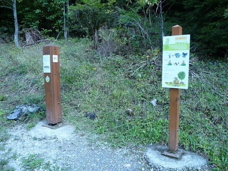
Walking route - Dranse riverside
-
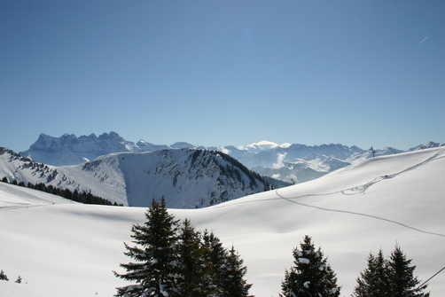
Snowshoeing itinerary: Col du Saix
- Distance 4.1km
- Daily duration 03h00
- Elevation gain 300m
- Negative elevation 300m
-
Snowshoeing itinerary : Itinéraire du Blanchet
- Distance 3.8km
- Daily duration 02h00
- Elevation gain 170m
- Negative elevation 170m
-
Snowshoe itinerary : La Chapelle balcony
- Distance 5km
- Daily duration 02h00
- Elevation gain 80m
- Negative elevation 80m
-

Snowshoeing itinerary : Plan des Feux La Chapelle village
- Distance 2km
- Daily duration 01h15
- Elevation gain 350m
- Negative elevation 350m
-
Snowshoeing itinerary: Plan des Feux Les Ravières
- Distance 2.3km
- Daily duration 02h00
- Elevation gain 270m
- Negative elevation 270m
-
Snowshoes itinerary : Sur Bayard par la cascade
- Distance 2.3km
- Daily duration 01h45
- Elevation gain 200m
- Negative elevation 200m
-
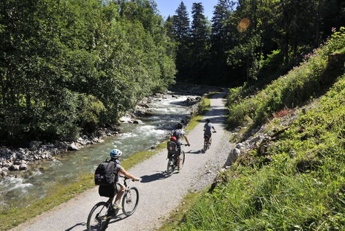
Path along the banks of the Dranse from Abondance to Châtel
- Distance 20km
- Daily duration 05h30
- Elevation gain 100m
- Negative elevation 100m
-
Snowshoeing itinerary : boucle de Fremoux
- Distance 2.5km
- Daily duration 02h00
- Elevation gain 160m
- Negative elevation 160m