 Webcams
 Live info
 Ski passes
 Useful information
 Retour
randonnee
Retour
randonnee
Hiking trail "La boucle de Betzalin"
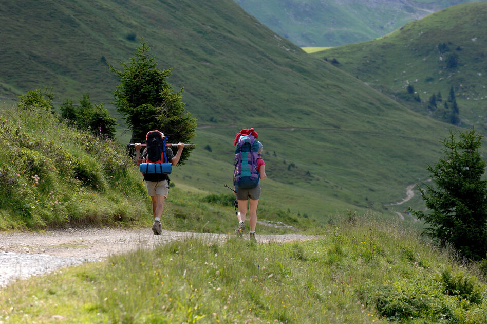
Much of the route is in the he Mont-de-Grange reserve, established in 1984.
By being discreet and with a little patience, you may be able to observe chamois, mountain sheep and marmots .
Difficulty level : medium .
Description
From the Pré-la-Joux car park, take the path leading up towards Betzalin.
After 200m, leave the forest track on your left to take the fairly steep path alongside the stream.
After rejoining the track, cross the stream to reach the Betzalin mountain pasture. At the chalet, take the path straight ahead to Sur-le-Crac, above the Essert waterfall.
After crossing the stream, turn left onto the carriage road.
At the fork in the road, turn left onto the GR5 in the direction of Etrye. You'll stay on this track all the way to Lenlevay, where you'll enjoy a breathtaking view of Mont Blanc.
Descend into the small valley on your left to join the Covagnes and continue on the same path entering the forest and leading back to Betzalin. For the descent, take the path back up.
Additional information
Whichever walk you choose, we recommend that you :
- Wear appropriate footwear and always take with you: warm clothing, preferably waterproof, plenty of water, sunglasses, sun cream and a small first-aid kit.
- Do not set off alone.
- Inform someone living in the valley of your plans.
- Do not change the planned itinerary indiscriminately. But do not hesitate to shorten it if necessary.
- Carry a map and even a torch.
- Check the weather forecast before setting off.
- In the event of a thunderstorm, move away from ridges, passes and summits as soon as possible and never take shelter under an isolated tree.
This route crosses the Mont de Grange nature reserve. To avoid disturbing wildlife and preserve its habitat, please respect the regulations in force.
Dogs are allowed and must be kept on a lead. It is forbidden to pick and gather plants, to litter and to use motor vehicles. Bivouacs are permitted from 7pm to 9am.
Here as elsewhere, nature deserves your attention.
-
Minimum age : 8 years
Animals
Pets allowed : Yes
Dogs must be kept on a lead due to the presence of herds.
Prices
Free access.
Route
-
 Distance
8.3km
Distance
8.3km
-
 Type of itinerary
Loop
Type of itinerary
Loop
-
 Elevation gain
567m
Elevation gain
567m
-
 Negative elevation
567m
Negative elevation
567m
-
 Daily duration
03h20
Daily duration
03h20
-
 Marked itinerary
Yes
Marked itinerary
Yes
-
 Details about signage
Departmental signposting on a beige metal plate with green lettering.
Details about signage
Departmental signposting on a beige metal plate with green lettering.
-
 Types of terrain
Stone,
Not suitable for strollers
Types of terrain
Stone,
Not suitable for strollers
-
 Maximum altitude
1840m
Maximum altitude
1840m
Opening period
From 01/06 to 31/10 daily.
Adaptive tourism
-
 Not accessible in a wheelchair
Environments
-
Close to a public transportation
-
Near shuttle stop
-
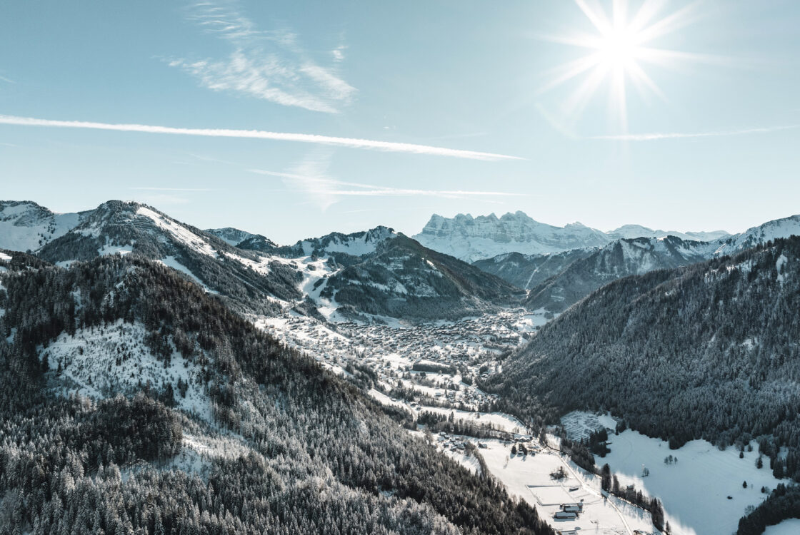
Mountain view
-
Mountain location
-
Close to GR footpath
Location
Car park at Pré la Joux or for those without a car: Bus line 1, stop at Pré la Joux (in July & August only).


-
Distance
8.3km
-
Daily duration
03h20
-
Elevation gain
567m
-
Negative elevation
567m