 Webcams
 Live info
 Ski passes
 Useful information
 Retour
randonnee
Retour
randonnee
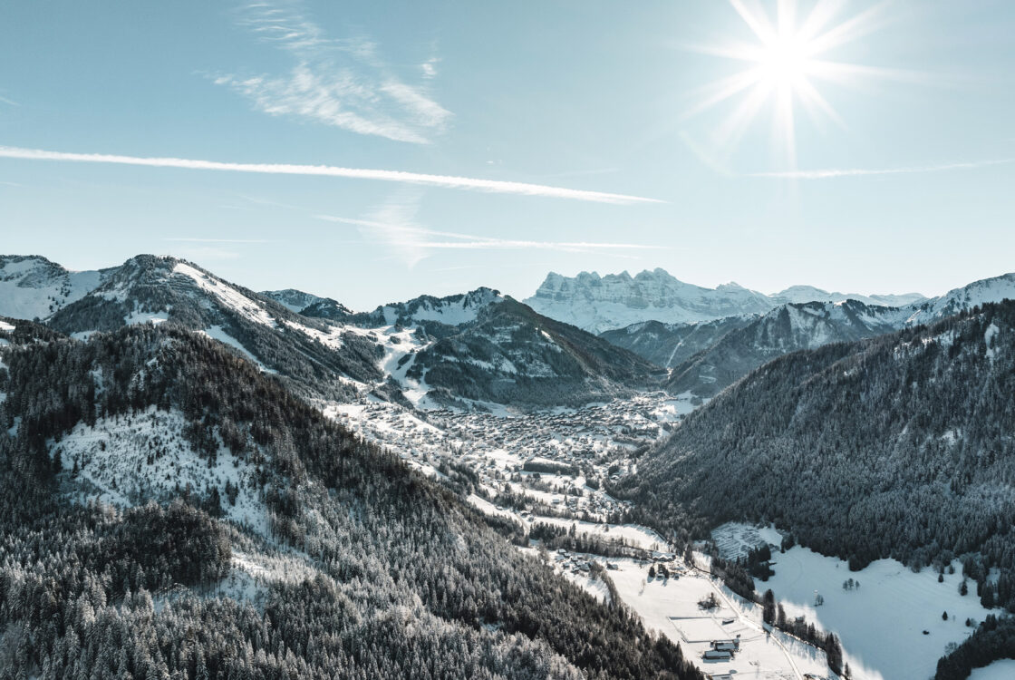
Walking route - Mont de Grange from Châtel
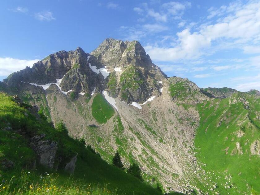
This massive mountain is the highest peak in the Abondance valley (2 432 metres) along with the Cornettes de Bise.
Description
The breathtaking views from the top of the Mont-Blanc massif and the Swiss "4,000" (Monch, Jungfrau, Matterhorn, Grand Combin, etc...) will live up to your expectations.
There is a striking contrast between the less hospitable north-facing slopes and the south-facing slopes, with their many mountain pastures.
Start : The path is on your right 50 metres before the bridge from the Pré la Joux car park.
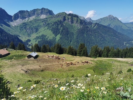
From the car park, follow the track and then the fairly steep path up towards the Betzalin mountain pasture through a beautiful spruce forest along the stream. At the end of this forest, you reach the mountain pasture, only to return under the trees by taking the carriage path on the left above the chalet: this takes you to the Covagnes mountain pasture. Here you reach the sub-alpine level of the mountain environment.
Pastoral activity is still present, in this case for the production of Abondance cheese. Take the path above the chalet, which winds up to a plateau, and turn right towards Lenlevay. The path then runs along the southern slopes of the Grange massif, from where you can gradually see Mont-Blanc.
To get to Mont de Grange, a path rises on your left after about 1 km before joining the Coicon ridge.
The path then winds up to the summit ridge, where you can enjoy one of the beautiful views in the Northern Alps.
The return journey takes the same route.
Additional information
Whichever walk you choose, we recommend that you :
- Wear appropriate footwear and always take with you: warm clothing, preferably waterproof, plenty of water, sunglasses, sun cream and a small first-aid kit.
- Do not set off alone.
- Inform someone living in the valley of your plans.
- Do not change the planned itinerary indiscriminately. But do not hesitate to shorten it if necessary.
- Carry a map and even a torch.
- Check the weather forecast before setting off.
- In the event of a thunderstorm, move away from ridges, passes and summits as soon as possible and never take shelter under an isolated tree.
-
Minimum age : 16 years
Animals
Pets allowed : Yes
Dogs must be kept on a leash because of the presence of herds, Natura 2000 reserve and hunting reserve.
Prices
Free access.
Route
-
 Distance
24km
Distance
24km
-
 Type of itinerary
Round trip
Type of itinerary
Round trip
-
 Elevation gain
1141m
Elevation gain
1141m
-
 Negative elevation
1142m
Negative elevation
1142m
-
 Daily duration
06h20
Daily duration
06h20
-
 Marked itinerary
Yes
Marked itinerary
Yes
-
 Details about signage
Departmental markings called P.D.I.P.R. on beige metal panels with green lettering.
Details about signage
Departmental markings called P.D.I.P.R. on beige metal panels with green lettering.
-
 Types of terrain
Stone,
Ground,
Not suitable for strollers
Types of terrain
Stone,
Ground,
Not suitable for strollers
-
 Maximum altitude
2432m
Maximum altitude
2432m
Opening period
From 01/06 to 30/09.
Accessible outside the snow period and depending on weather conditions. Check with the Tourist Office beforehand to find out the current access conditions. Recommended practice period: spring - summer - autumn.
Adaptive tourism
-
 Not accessible in a wheelchair
Environments
-
Mountain view
-
Mountain location
-
Close to GR footpath
Location
Recommended parking: Pré-la-Joux - Châtel
The closest bus stop: Shuttle line 1, stop "Pré-la-Joux" (July & August)


-
Distance
24km
-
Daily duration
06h20
-
Elevation gain
1141m
-
Negative elevation
1142m


-

Walking route - Tour of Mont de Grange from Châtel
- Distance 25.7km
- Daily duration 09h00
- Elevation gain 1144m
- Negative elevation 1144m
-

Tour of Mont de Grange from Chapelle d'Abondance
- Distance 22.6km
- Daily duration 09h00
- Elevation gain 1670m
-
Walking itinerary: Tour of Mont de Grange from Abondance
- Distance 22km
- Daily duration 09h00
- Elevation gain 1670m
- Negative elevation 1670m