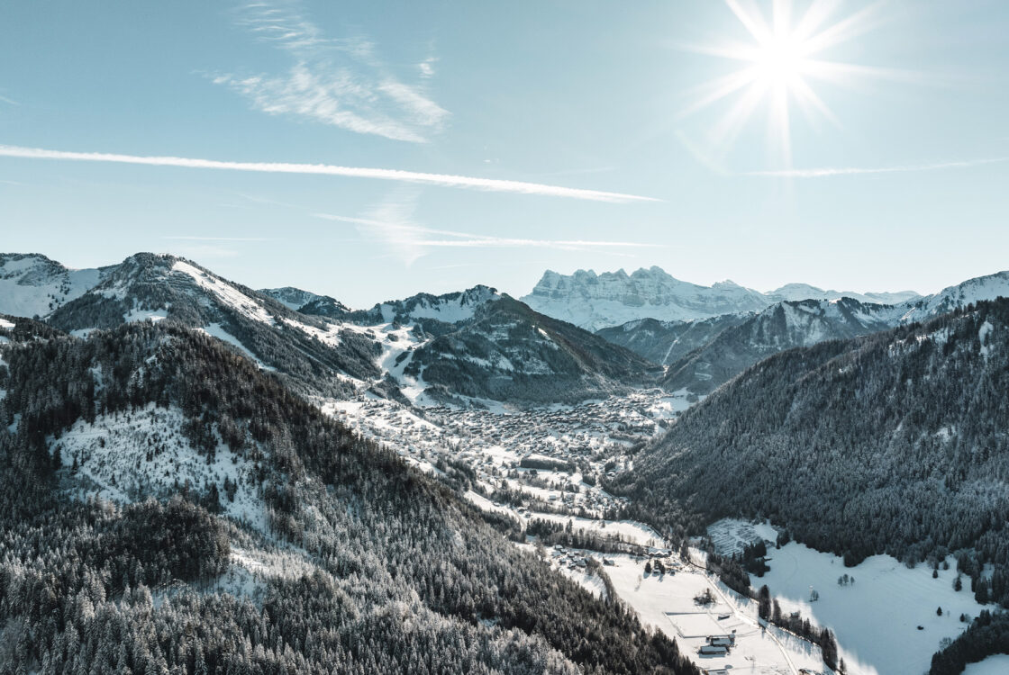
 Webcams
 Live info
 Ski passes
 Useful information
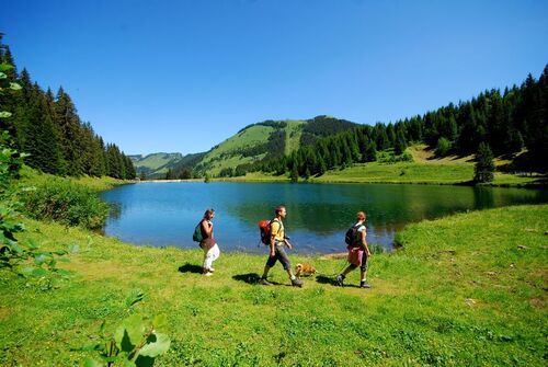
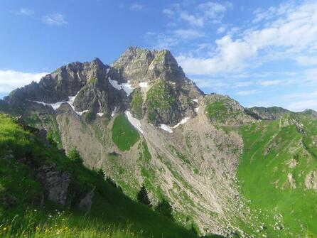
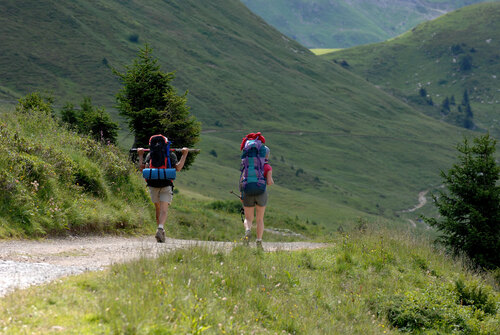
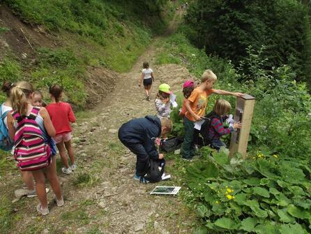
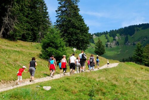
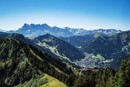
Walking routes
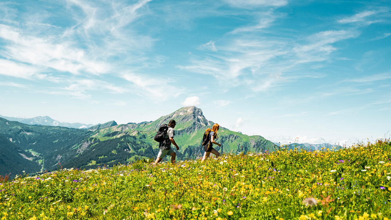
Whichever walk you choose, we recommend that you:
– Wear appropriate footwear and always take with you: warm clothing, preferably waterproof, plenty of water, sunglasses, sun cream and a small first-aid kit.
– Do not set off alone.
– Inform someone living in the valley of your plans.
– Do not change the planned itinerary indiscriminately. But do not hesitate to shorten it if necessary.
– Carry a map and even a torch.
– Check the weather forecast before setting off.
– In the event of a thunderstorm, move away from ridges, passes and summits as soon as possible and never take shelter under an isolated tree.
Please note: dogs must be kept on a lead because of the presence of herds and their guard dogs.
How should you behave when meeting a guard dog?
♦ Signal yourself so as not to surprise the dog (‘hello dog!’)
♦ As far as possible, go as far as possible around the herd without endangering yourself.
♦ If the dog approaches, stop or move forward slowly (but not towards the dog directly), do not stare into its eyes and speak to it calmly.
♦ With walking sticks: hold them in one hand and point them downwards. Above all, don’t brandish them.
♦ By bike: get off the bike as soon as possible and walk forward pushing your bike. To reassure yourself, you can put the bike between you and the dog.
The dog will return to its herd.
- Level green – easy (2)
- Level bue – Medium (3)
- Level red – hard (8)
- Orange level – quite hard (2)
- For experts / practiced (3)
-
- 30mn to 1 hour (1)
- 1 to 2 hours (1)
- 2 to 4 hours (9)
- 4 to 6 hours (4)
- 6 to 8 hours (1)
- More than 8 hours (1)
-
225Validate
- Accessible via ski lift (3)
-
- Loop (11)
- One way (1)
- Return (3)
-
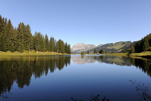
Walking route – Super Châtel and the 3 lakes
- Distance 6.8km
- Daily duration 02h30
- Elevation gain 181m
- Negative elevation 573m
-
Walking route – Mont de Grange from Châtel
- Distance 24km
- Daily duration 06h20
- Elevation gain 1141m
- Negative elevation 1142m
-

Hiking trail "La boucle de Betzalin"
- Distance 8.3km
- Daily duration 03h20
- Elevation gain 567m
- Negative elevation 567m
-
Walking itinerary – Col de l'Aulp Couti from Bassachaux
- Distance 5.8km
- Daily duration 02h20
- Elevation gain 370m
- Negative elevation 370m
-
Walking route -Tête de Lindaret – Pointe de Chésery from Bassachaux
- Distance 6.5km
- Daily duration 02h50
- Elevation gain 525m
- Negative elevation 525m
-
Walking route – Petit Châtel
- Distance 3.8km
- Daily duration 01h30
- Elevation gain 241m
- Negative elevation 241m
-
Walking route – Boucle sur le Bord
- Distance 6.9km
- Daily duration 03h30
- Elevation gain 438m
- Negative elevation 410m
-
Walking route – Boucle de la Pointe du Midi
- Distance 8.6km
- Daily duration 04h00
- Elevation gain 788m
- Negative elevation 790m
-

Walking route – Tour of Mont de Grange from Châtel
- Distance 25.7km
- Daily duration 09h00
- Elevation gain 1144m
- Negative elevation 1144m
-
Mouet loop from Sevan
- Distance 8km
- Daily duration 03h15
- Elevation gain 550m
- Negative elevation 550m
-

Walking route – Chemin des Queysets
- Distance 2km
- Daily duration 00h40
- Elevation gain 92m
- Negative elevation 56m
-
Walking route -" On the former smuggler's trail"
- Distance 3.6km
- Daily duration 04h00
- Elevation gain 653m
- Negative elevation 410m
-
Walking route – Les Mattes
- Distance 10km
- Daily duration 04h30
- Elevation gain 820m
- Negative elevation 720m
-
Walking route – Boucle du Mouet from Châtel
- Distance 6.2km
- Daily duration 03h00
- Elevation gain 550m
- Negative elevation 550m
-
Walking route – Circuit des Crêtes franco-suisses
- Distance 12km
- Daily duration 05h25
- Elevation gain 903m
- Negative elevation 904m
- 1