 Webcams
 Live info
 Ski passes
 Useful information
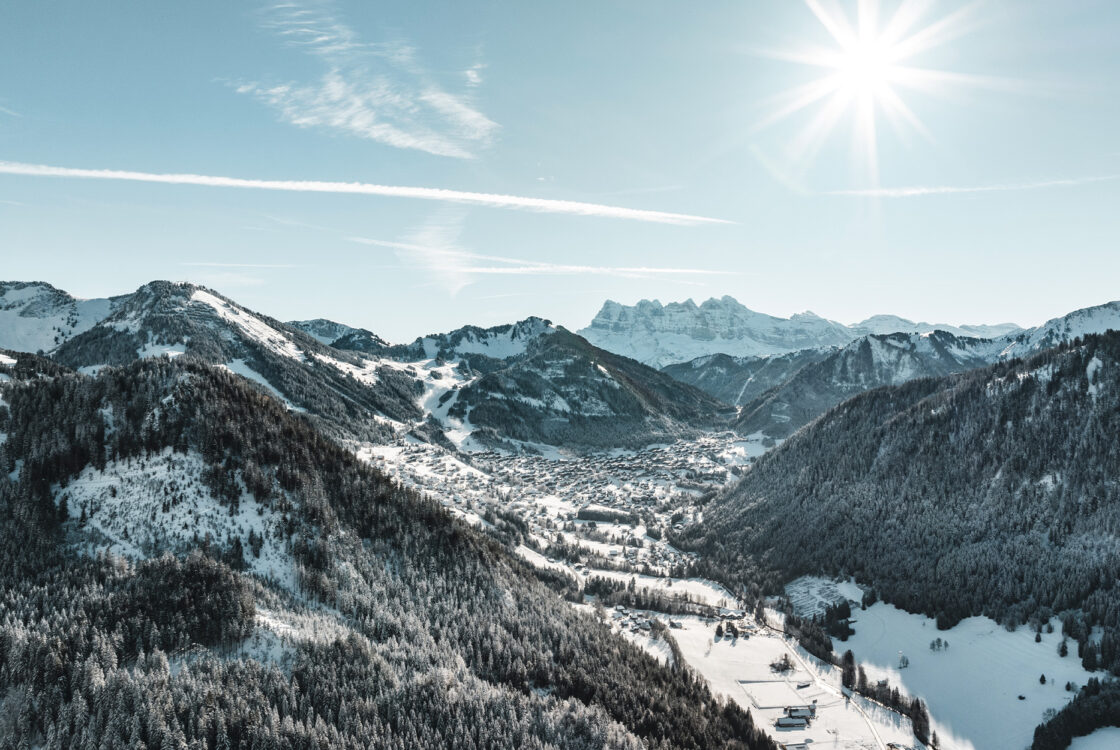
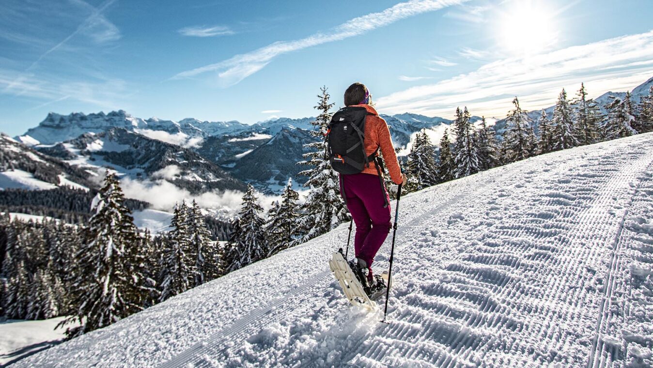
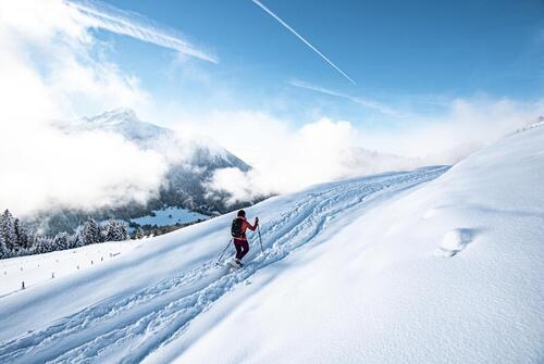
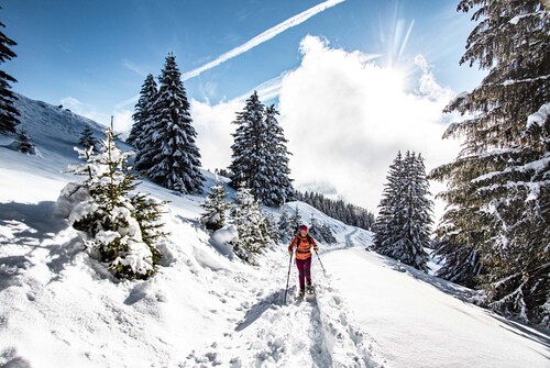
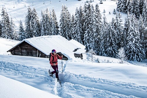
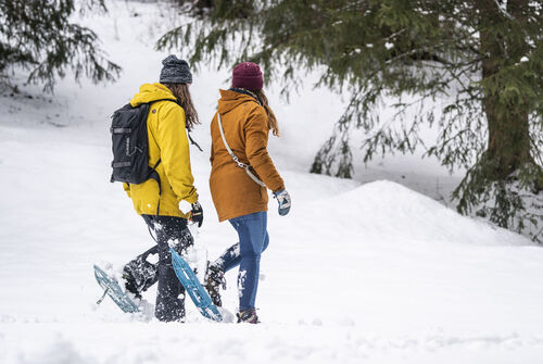
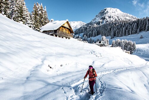
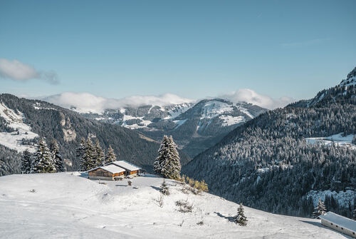
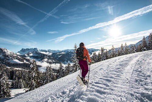
Snowshoe circuits
Explore new trails and have a go at being a trapper...
©L.Meyer-Châtel
Over 80 km of trails providing you with a different insight into the mountains under their blanket of snow, at your own pace, on your own or with a guide.
The circuits are accessible according to climatic conditions and is closed if the avalanche risk is 3 on 5 or more.
Please contact the Tourist Office in advance to find out the conditions of access at the time or click on the button below.
A printed map of the snowshoes circuits is available at the tourist office for €1. You can download it here below.
Download the Snowshoe trails guide
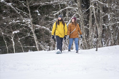
Safety and rules of good practice
- All routes are undertaken at the hiker’s own risk, as they are not supervised.
- Before setting off, make sure you are aware of the weather conditions and the risk of avalanches, and remember to bring warm, waterproof clothing. Mountain weather changes very quickly. A high avalanche risk means that trails are closed.
- Choose a route suited to your level and physical condition.
- Follow the signposting instructions.
- Do not stray from the marked routes.
- Tell someone close to you about your outing and the route you have chosen.
- Never hike alone.
- Don’t leave too late in the afternoon to make sure you’re back before dark.
- Do not use the cross-country or downhill ski runs. Crossing the pistes is only permitted on marked crossings.
- Take plenty of food and water with you. Mountain sports require a lot of energy. Mountain inns and high-altitude restaurants exist on certain routes.
Equipment required:
- A hat
- Gloves
- Sunglasses
- Poles
- Mountain boots
In the bag:
- Warm clothing
- Hot drinks and snacks
- Mobile phone
- First-aid kit
- Sun cream.
11
Results
Filter your search
Level of difficulty
- Level green – easy (4)
- Level bue – Medium (3)
- Level red – hard (3)
- Level black – very hard (1)
Duration
-
- From 1 to 2 hours (5)
- From 2 to 3 hours (3)
- 5 hours and + (3)
Distance (in km)
-
111Valider
Type of route
-
- Loop (11)
- One way (11)
- Return (11)
Accessible via ski lift
- Accessible via ski lift (4)
-
Snowshoe trail – Les Québales
- Distance 7.6km
- Daily duration 05h00
- Elevation gain 700m
- Negative elevation 700m
-

Snowshoe trail – Portes de Culet
- Distance 4.1km
- Daily duration 01h30
- Elevation gain 80m
- Negative elevation 80m
-
Snowshoe trail – Sur le Bord
- Distance 1.4km
- Daily duration 02h30
- Elevation gain 300m
- Negative elevation 300m
-
Snowshoe trail – Boucle des Blattes
- Distance 4km
- Daily duration 02h30
- Elevation gain 200m
- Negative elevation 200m
-
Snowshoe trail – Boucle des Ramines
- Distance 1.8km
- Daily duration 01h00
- Elevation gain 80m
- Negative elevation 80m
-
Snowshoe trail – Bords de Dranse
- Distance 3.4km
- Daily duration 01h30
- Elevation gain 150m
- Negative elevation 150m
-

Snowshoe trail – Pas de Morgins
- Distance 2.4km
- Daily duration 01h30
- Elevation gain 80m
- Negative elevation 17m
-
Snowshoe trail – Petit Châtel circuit
- Distance 4.5km
- Daily duration 02h15
- Elevation gain 230m
- Negative elevation 230m
-
Snowshoe trail – Col de Bassachaux | Plaine Dranse
- Distance 11.3km
- Daily duration 05h30
- Elevation gain 540m
- Negative elevation 540m
-
Snowshoe itinerary – Tour du Corbeau Sentier du Renard
- Distance 7.6km
- Daily duration 05h00
- Elevation gain 650m
- Negative elevation 650m
-

Snowshoe trail – Balcon de Châtel
- Distance 2.5km
- Daily duration 01h00
- Elevation gain 50m
- Negative elevation 50m
- 1