
 Lift passes
 Webcams
 Live info


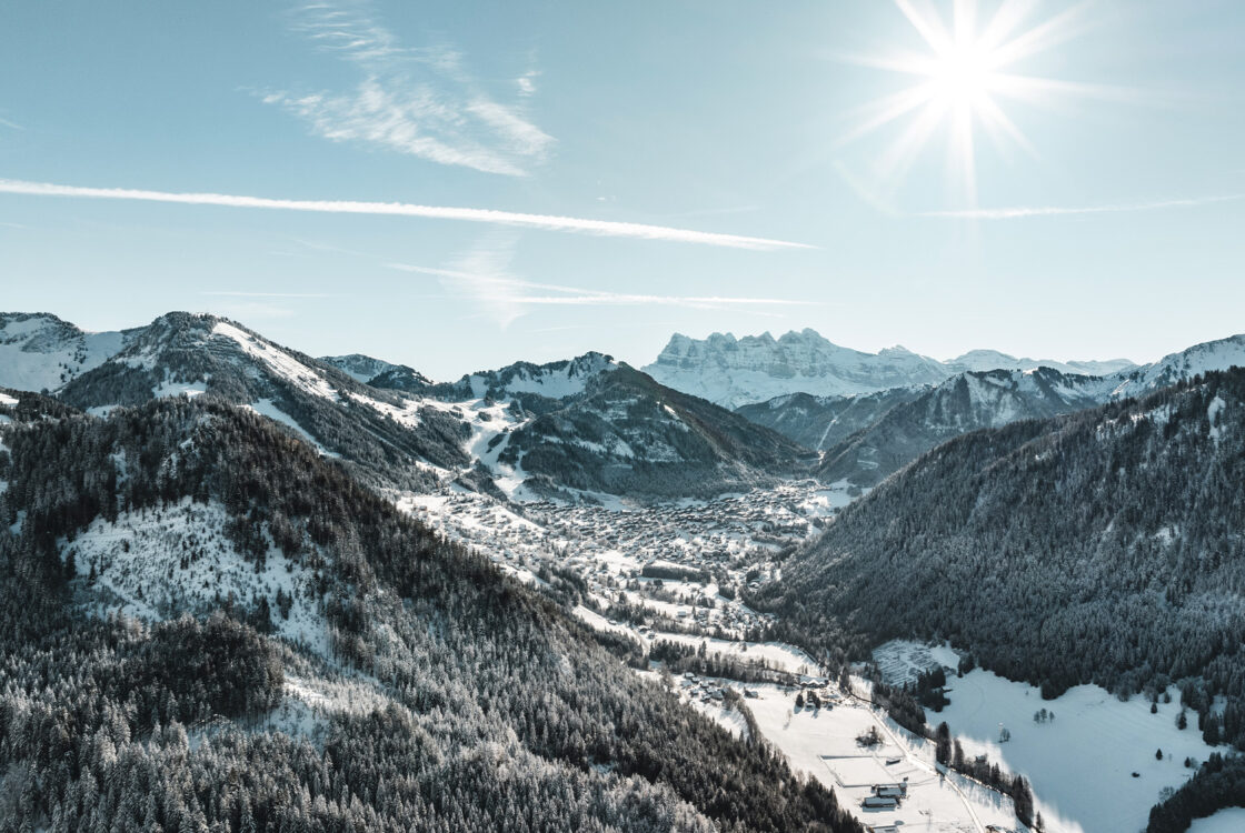
 Useful information
Snowshoe trail - Bords de Dranse
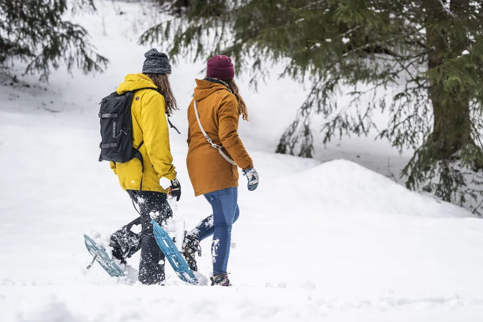
The Bords de Dranse route runs for 16 km from Châtel to Abondance. This winter itinerary begins at Linga and follows the Linga to Pré la Joux route. A very easy route, it is accessible to all.
Description
The trailhead is located at Le Linga, near the ski lift ticket booths, and heads toward Pré la Joux.
Follow the trail markers; the path takes you on a leisurely walk through forests and meadows. A traffic light indicates whether or not you can continue toward Pré la Joux (risk of rockfalls when temperature fluctuations are too extreme).
After the first parking lots, the trail continues along the banks of the Dranse River and ends at the Pré la Joux sledding area.
You can return via the same trail or by taking shuttle bus line 1.
Additional information
Safety and Rules of Conduct:
- Hikers are responsible for their own safety and assume all risks when following any trail, as the trails are not monitored.
- Before setting out, check the weather conditions and avalanche risk, and be sure to bring warm, waterproof clothing. Weather conditions in the mountains can change very quickly. A high avalanche risk will result in trail closures.
- Choose a route suited to your skill level and physical condition.
- Follow the instructions indicated on the trail markers.
- Do not stray from the marked trails.
- Never hike alone; if you do, inform a friend or family member of your plans and the route you’ve chosen.
- Don’t set out too late in the afternoon to ensure you’re back before dark.
- Do not use cross-country or downhill ski trails. Crossing the trails is permitted only at designated crossings.
- Bring plenty of food and water. Mountain sports require significant energy expenditure. Mountain lodges and high-altitude restaurants are available along some routes.
Essential gear:
- A hat
- Gloves
- Sunglasses
- Poles
- Hiking boots
In your backpack:
- Warm clothing
- Hot drinks and snacks
- A fully charged cell phone
- Crampons (depending on the season)
- First-aid kit
- Sunscreen.
-
Minimum age : 5 years
Animals
Pets allowed : Yes
Prices
Free access.
Route
-
 Distance
6.8km
-
 Type of itinerary
Round trip
-
 Elevation gain
150m
-
 Negative elevation
150m
-
 Daily duration
01:30
-
 Marked itinerary
Yes
-
 Details about signage
Purple trail.
-
 Types of terrain
Non-groomed itinerary
-
 Average altitude
1200m
-
 Maximum altitude
1360m
Opening period
From 21/12 to 21/04 daily.
Accessible according to climatic conditions and is closed if the avalanche risk is 4 on 5. Please contact the Tourist Office in advance to find out the conditions of access at the time.
Subject to snow conditions.
Langues documention
-
 English
-
 French
Adaptive tourism
-
 Not accessible in a wheelchair
Environments
-
Waterside
-
Riverside
-
Forest location
-
Mountain view
-
Mountain location
Documents


-
Distance
6.8km
-
Daily duration
01:30
-
Elevation gain
150m
-
Negative elevation
150m